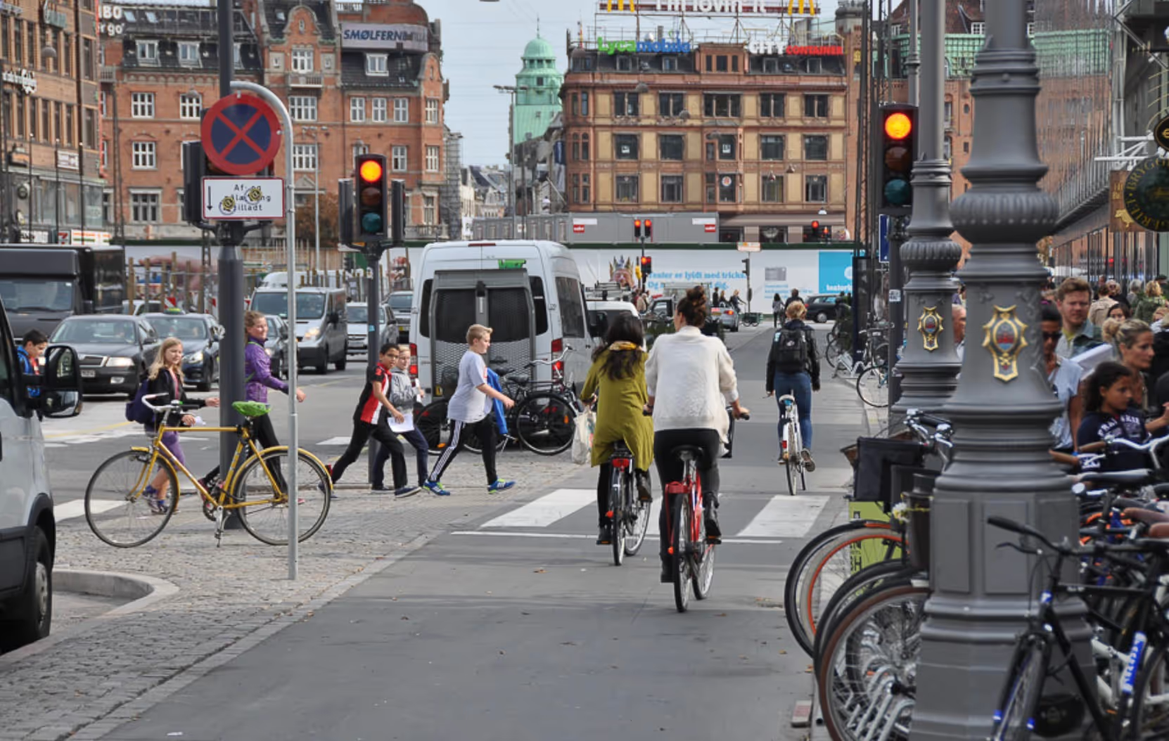
Residents shared their hopes and views for what this would look like, envisioning a more walkable and pedestrian-friendly city. Yet, achieving this would prove challenging with the vast number of vehicles occupying our streets and neighborhoods.
At Nadi Group, we discussed topics such as walkability, bike paths and automated cars as well as improving public transit and suppressing parking to enhance the way we move around the city. It's ironic that we need to reclaim aprimary activity like walking. Yet, in North American cities where the privilege of extensive land was given, it's necessary to use it as a catalyst for future urban design and transformation without un-doing what urban planners proposed in previous years. The overarching idea is to make our cities better because like humans, cities evolve and continuously adapt.
Future of transportation
Glenn Lyons, a professor of future mobility at the University of West England in Bristol wrote, on the future of transport planning, "My feeling is that transport planning change will be evolutionary, not revolutionary. It's in our hands to shape it—but this will require us all to play our part—and have the resilience and patience to see through the change needed."
This quote summarizes our working group role in this transformation. To actively participate, we need to understand how we got there in the first place. Wishing to have more walkable cities again doesn't depend solely on the physical changes but in our commitment to using them. Here are a few considerations on the past, present and future of our interactions with the city in terms of transportation and use.
Expansion, retraction
With the urban systems developed in the 20th century with the industrialization of the automobile and the rapid and uncontrolled expansion of the cities, urbanites conquered freedom and independence with personal cars.The perspective of a better quality of life outside the city centre, the creation of new communities with individual leisure facilities represented peaceful living and became a synonym of progress.
Until now, cities around the world—with significant growth sprouts—have made every effort to connect citizens through metros, trams and bus lines spread out to take people from the core to the places they live. However, in recent years, we have seen the opposite practice. With the revitalization of town centers, these strategies have mainly focused on bringing people back in. Downtowns turned into gentrification labs with social and economic changes that also brought different ideas on how to return permanent residents to the core, as well as facing challenges like creating public and multi-functional spaces for locals and visitors to enjoy.
With these changes, downtowns seem to become a destination place where we want to live, work and play again. Moreover, city hubs often offer more accessible public transit, bicycle routes, paths and boulevards and more services and amenities that cover our vibrant and cultural needs.
Filling the gaps
There's a similarity between Barcelona and Calgary. Both cities have visually the main artery road crossing several neighborhoods connecting east and west, but if I were to go from point A to B along these main roads using only public transportation, it would be impossible. I know both cities respond to surveys and traffic studies to determine significant needs leading the design and type of transport solutions for each case. But there is still a gap, and like these two cities, many others are trying to solve the connections that urban sprawl probably intensified.
The Diagonal Avenue in Barcelona and TransCanada Highway in Calgary represent two major traffic collectors, they were built for cars and despite the efforts of both cities to include transportation systems like tram or express buses close by, there is still an 'empty space' where no public transit can access, therefore, the intention to connect points A to B fails.
The potential for these two urban arteries to transform into a pedestrian and transit-oriented corridors, with the opportunities to bring citizens together along with mixed-use developments or a wider variety of activities and services, can be one of the steps into reclaiming the space into shareable and integrated roads.This allows alternative ways of transportation to lead the character of the new street life.
Choosing the direction
When adventuring new things and embracing the changes--despite the ups and downs--the book, Oh, the Places You'll Go by children’s author Dr.Seuss (published in 1990) comes to mind. This may be because I find it a motivational tool to explore every possibility or because it encourages the spirit to keep going. Or, as Caroline Syms from the Michigan Daily reflects, its message about the importance of seizing new opportunities, keeping an open mind and trying new things.
For any one of those reasons or for one of your own, it’s crucial that cities keep exploring different transportation methods that accommodate the needs of present and future citizens. The technologies attached to our lifestyle make it possible to interact with systems like Uber or similar car sharing, route planning apps, autonomous cars or even more ambitious projects like Hyperloop for future long-distance travels. It's changing the way we connect to the most immediate environment.
Taking advantage of those technologies and introducing them into our commute, together with municipality efforts to create holistic communities can help us 'learn to walk again'. Starting from our own neighborhood, cities can turn into a system of inter-connected nodes where people can move freely.
In conclusion
The three considerations mentioned above represent three different scales in terms of transportation. A more walkable city must include connections between all three scales. Digital apps like Walk Score is an excellent tool to measure accessibility to immediate services and commutes, but walkability could also be measured in terms of efficiency and secure transfers through different systems so we can rely less on the private car, combine other ways of transportation and keep moving.
Take a moment to participate in community engagement processes, share your ideas on how we move around the city and together we can find ways to go even further.


